


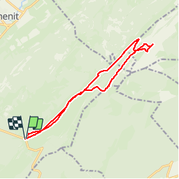

10,7 km | 15,5 km-effort


Usuario


Aplicación GPS de excursión GRATIS
 SityTrail
IGN / Institutos geográficos
SityTrail World
El mundo es suyo
Ruta Raquetas de nieve de 15,2 km a descubrir en Valdia, District du Jura-Nord vaudois, Le Chenit. Esta ruta ha sido propuesta por albert39.
Séjour Mouthe du 20/03 au 22/03 2014, superbe journée ensoleillée,départ route de Marchairuz, pré de Bière, pré de Denens, Chalet des Combes, Dessus Grands Crosets, La Racine, Chalet de Yens, monté au Mont Tendre (1679), redescende chalet de Yens et casse croûte, Cabane du Cunay, retour chalet des Combes et parking.

Raquetas de nieve
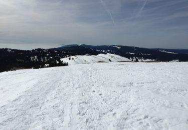
Raquetas de nieve
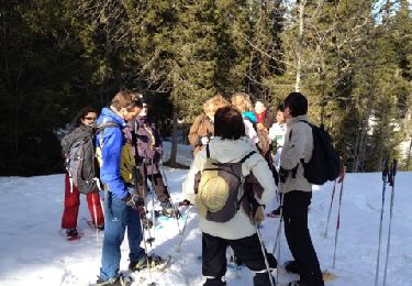
Raquetas de nieve

Senderismo
Senderismo
Senderismo
Senderismo
Senderismo
Senderismo